
 Menu
MenuRand McNally Motor Carriers' Road Atlas 2010 Edition 57-RD-0
This atlas has been updated to the latest version, the 2020 Version. Get the latest version, 2020 Rand McNally Motor Carriers' Road Atlas now!
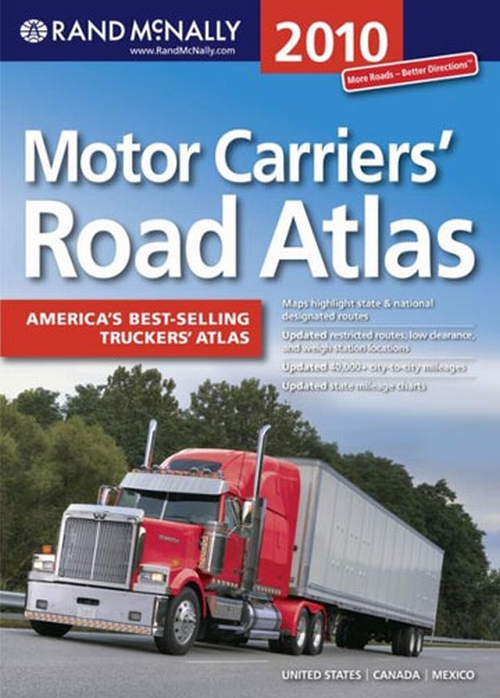
The 2010 Rand McNally Motor Carriers' Road Atlas offers you detailed, full-color maps of the U.S., Canada, and Mexico to make trip planning a snap.
Each road atlas also contains a federal section with information on hazmat regulations, inspection procedures, driver's daily log, and more to help your drivers stay in compliance..
The 2010 Rand McNally Motor Carriers' Road Atlas also contains the following information:
- Updated restricted routes
- Updated low clearance and
- weigh station locations
- 40,000+ updated city-to-city mileages
- Updated state mileage charts
- Updated tax rates
- GPS & online companion
- Tractor/Trailer inspection procedures
- Area code map
- Hazardous materials tips and facts
- Information on U.S., Mexican, and Canadian Regulations
- Hotel/Motel toll free numbers and websites
- National Weight and Size Provisions
- State/Provincial weight and size limits
- State/Province contacts for:
- Emergencies, vehicle registration, operating authority, weight/size, hazardous materials
- And much more
Softbound, 11" W x 15-3/8" L. 208 pages.
Published by Rand McNally.ISBN-10: 0-528-94257-3; ISBN-13: 978-0-528-94257-0
Back to Top
Atlases, Guides, Handbooks, Manuals
Fleet Operations
Highly Recommended
<
>


Track Your Order

